


Good routes are the
backbone of a race.
Ours are legendary.
2025 Grassroots courses: Epic. Varied. Incredible.
Don’t take our word for it. Pueblo’s gravel routes have been complimented by some of the most seasoned riders and racers in the game. Seriously.
Rider support: All routes feature aid stations (hydration, nutrition, maintenance basics) and SAG vehicles. We do not have a bag drop service.
Timing format: We will have a neutral rollout for each distance, with racing beginning at the start of the gravel on Red Creek Springs road.
Navigation: Courses will be marked, RideWithGPS is providing navigation with audio cues, printable cue sheets will be available, and GPX files will be available at the links below. Use common sense and communicate with other riders if you’re unsure while on course. Join our email list to be sure you’re notified of any course updates.
DISCLAIMER: Courses are subject to change up to event day based on conditions and other variables. Updates will be communicated via email, this page, and social media.

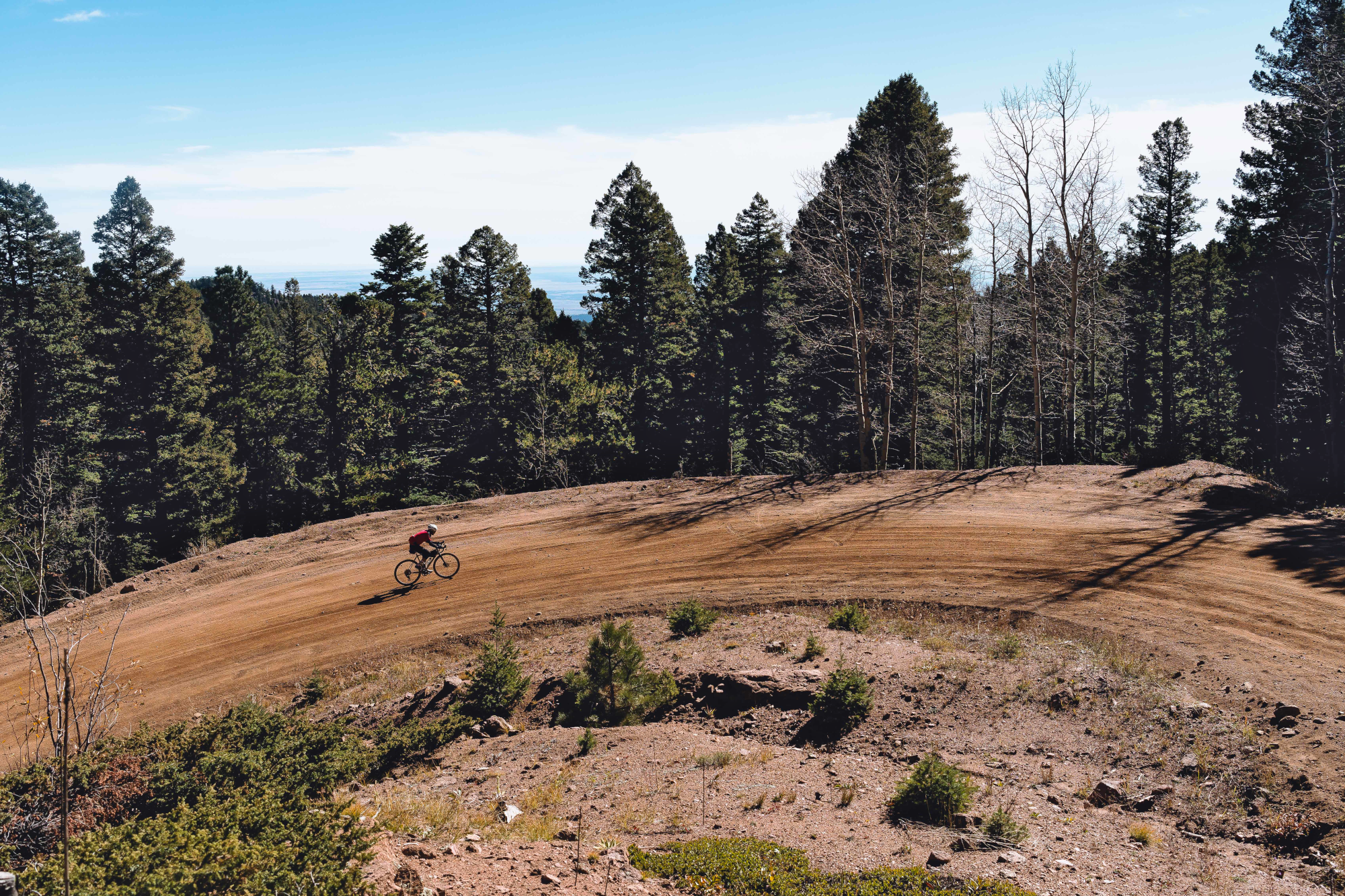
Image: SCott TribbyThe Mild

Mild. Still full of flavor.
The Mild is non-competitive and has TWO distance options.
Distance: 15 or 19 miles
Elevation Gain: ~600’
Course description:
The Mild is a non-competitive ride for folks seeking fewer miles. New for 2025, we have two distance options within The Mild. Riders can ride a 15 mile out-and-back to Aid Station 1 (like past years) or continue past Aid 1 and complete a loop that will take them on mellow dirt tracks alongside the Arkansas River. Both options share the classic gravel departure from right in town, and a steady climb for about 4 miles. Once you’ve finished the climb, soak in some huge views. Then descend Red Creek Springs road or along the Arkansas river back into town!
DISCLAIMER: Courses are subject to change up to event day based on conditions and other variables. Updates will be communicated via email, this page, and social media.
The Lil Chile

Nice. With a bit of spice.
Distance: 39 miles
Elevation Gain: 1,800’
Course description:
A local mainstay. Most of this route is ridden weekly on our Red Creek Rally group rides and features some of our favorite segments. Love it or hate it, the S-curve hill on Red Creek West is a classic! Rolling hills and scenery straight out of an old western will bring you to the Red Creek Volunteer Fire & Rescue station. Refuel here and then descend back into town!
DISCLAIMER: Courses are subject to change up to event day based on conditions and other variables. Updates will be communicated via email, this page, and social media.
The Half


It may be the half, but it’s a full helping.
Distance: 74 miles
Elevation Gain: 3,900’
Course Description:
Ride from town alongside classic high desert views, and head west to where the plains meet the peaks. Sample a full selection of rolling gravel as you climb toward Beulah. At the top of your climb, dive into the Beulah Valley to the fresh smell of ponderosa pines, refresh at Aid Station 3 (and a convenience store stop if you want), then ascend from the valley to the fast finish along 3R and Burnt Mill road.
DISCLAIMER: Courses are subject to change up to event day based on conditions and other variables. Updates will be communicated via email, this page, and social media.
The Whole

Too much? Just right?
Distance: 113 miles
Elevation Gain: 8,100’
Course Description:
So you want the whole thing? Alright! This route takes riders through a full spectrum of SoCO scenery, climates, HILLS, and histories. You’ll share the route with “The Half” riders all the way into the Beulah Valley, then you’ll break off and climb the legendary “twelvemile” climb. New for 2025 we have segment podiums for the climb with the Solar Roast Coffee Climb! Everyone riding The Whole will be included and eligible for coffee, cash, and more back at the festival. One of few (the only?) unpaved Colorado “highway”, CO-78 aka twelvemile serves up one of our favorite climbs anywhere. With about 3,200’ over 10 miles with an average grade of 6% and a max grade of…13%? 16%? Hard to say. Hard to climb. And so good. This is one you’ll love to remember.
After finishing up twelvemile riders will descend CO-165 past scenic Lake Isabel (and another convenience store if you want), then down the rustic, foliage tunnel that is the Old San Isabel road descent. Weave through the foothills towns of Rye and Colorado City to get to the fast finish along 3R and Burnt Mill road.
DISCLAIMER: Courses are subject to change up to event day based on conditions and other variables. Updates will be communicated via email, this page, and social media.
How we plan and navigate our rides

Planning a great route is one of our favorite things to do here. Maps represent possibilities - whether they’re mounted to a sign, unfolded on a picnic table, or lit up on the computer screen.
We build all of our online routes using RideWithGPS. It’s simple to use and simple for folks to access. It has free mobile and desktop options so there’s an option for everyone.
The screenshot here is the Route Planner tool. It’s where you can try out different options and if you’re unsure whether you can ride a segment, there’s a “global heatmaps” feature that can show estimated rider traffic on the segment based on data from multiple sources (the thin red lines on the screenshot - the darker red, the more use).
Downloading the right file:
You can download routes in multiple formats for your GPS device by clicking on the button circled in the screenshot. Click the button below to open the route and get started!
